 TürkiyeCennet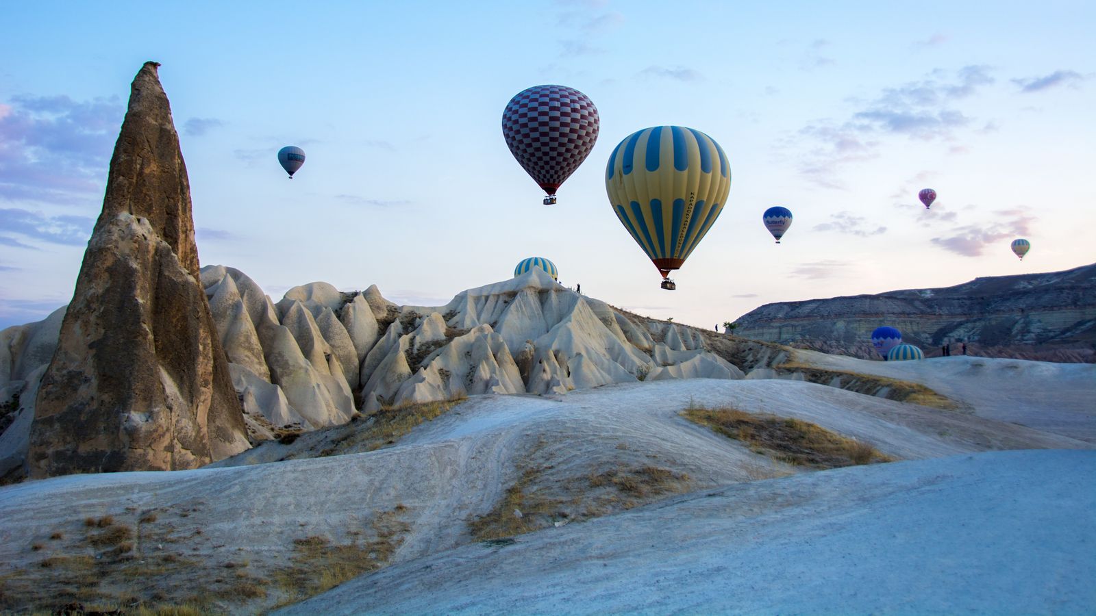
Central Anatolia is a region of unexpected landscapes in the middle of open steppe. Valleys carved from volcanic tuff by wind and water, salt flats, and the Hittite capitals standing within them give the region a character both soft and severe.
What sets it apart is that it holds Türkiye’s most recognisable landscape and its oldest state records in the same geography; the underground cities beneath the fairy chimneys and the three-thousand-year-old stone tablets are parts of the same region. Content here is still in preparation; the places below show the roadmap for the work ahead.
Places in this region
5 places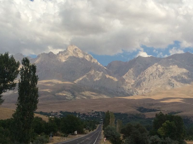
The Aladağlar
The hardest section of the Taurus range: limestone walls to 3,750 m, glacial valleys and almost no trees — the centre of technical mountaineering in Türkiye.
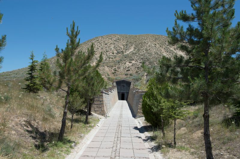
Gordion
West of Ankara, the capital of the Phrygian kingdom: you can walk inside the burial mound attributed to King Midas, and the Gordian Knot was cut here.
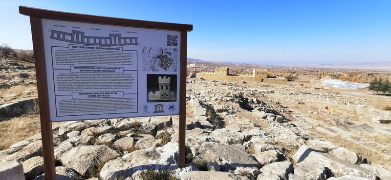
Hattusa
In Çorum, on the Anatolian plateau, the walled ancient city that was the capital of the Hittite Empire.
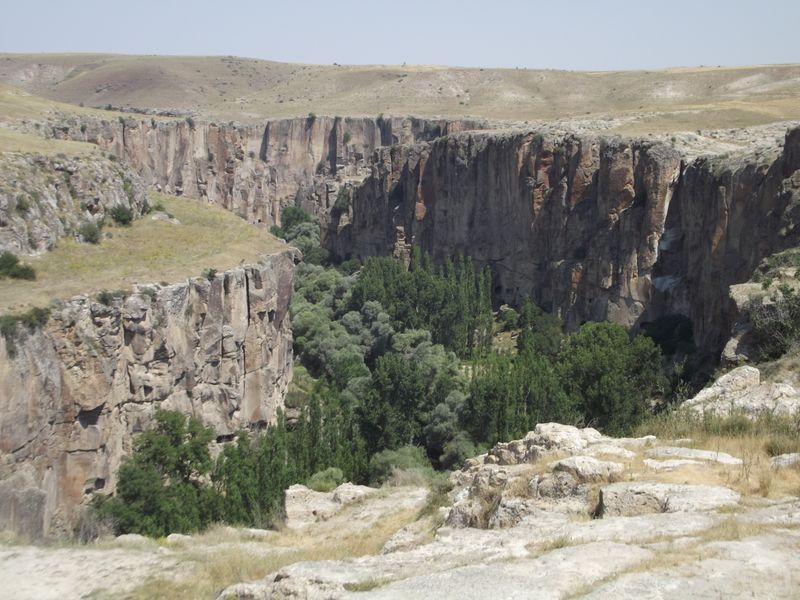
Ihlara Valley
In Aksaray, a deep canyon cut by the Melendiz stream, known for the frescoed rock churches carved into its walls.
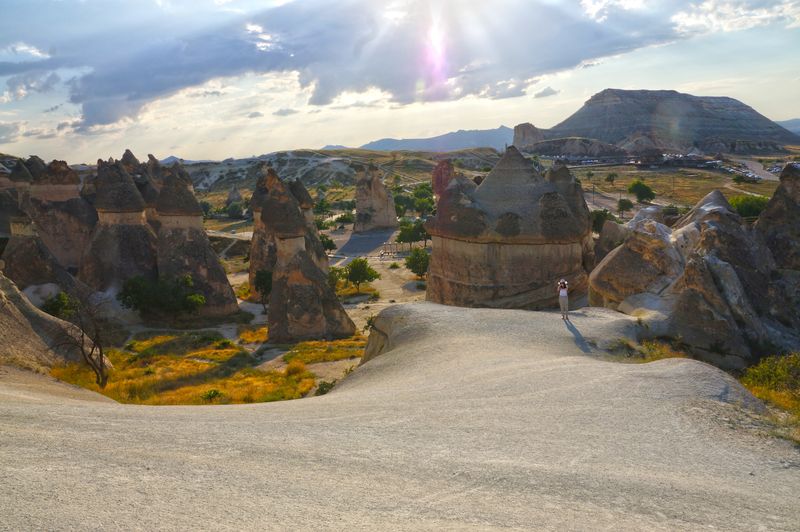
Cappadocia
A volcanic landscape of fairy chimneys, rock-cut churches and underground cities.
Coming next
in preparationThese places are not published yet. Work on this region continues next.
- Kapadokya
- Tuz Gölü
- Ihlara Vadisi
- Hattuşa