 TürkiyeCennet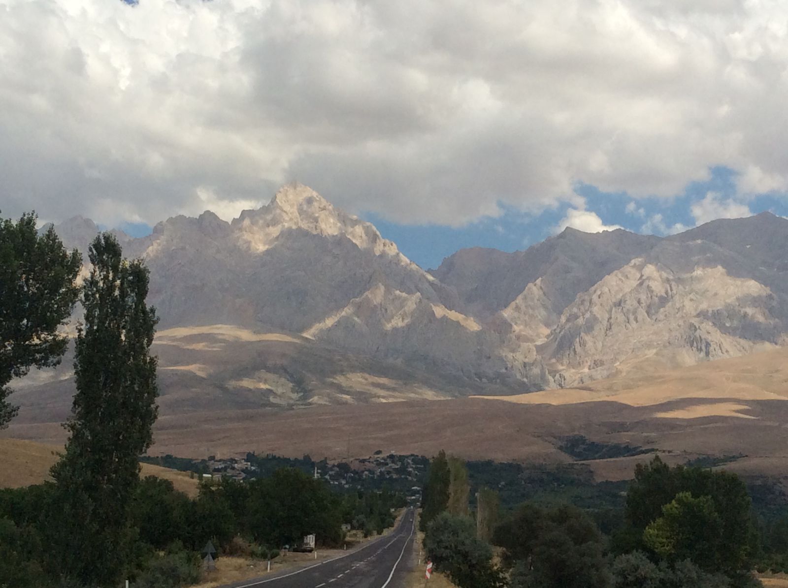
The Aladağlar
Central AnatoliaNiğde37.8333, 35.1500
Photo: Zeynel Cebeci · CC BY-SA 4.0 · source
The hardest section of the Taurus range: limestone walls to 3,750 m, glacial valleys and almost no trees — the centre of technical mountaineering in Türkiye.
Why go
Look south from Cappadocia and a serrated wall stands on the horizon. That is the Aladağlar, the highest and harshest part of the central Taurus. Where the Kaçkars are green and softly shaped, the Aladağlar are the opposite: bare limestone, knife-edge ridges, vertical rock and almost no trees.
The high point is Demirkazık at 3,756 m. Its north face rises roughly a thousand metres and carries some of the most serious rock routes in the country, which is why this range is regarded as the centre of Turkish mountaineering. But there is plenty here for someone who has no intention of touching a rope.
Valleys and lakes
The character of the range is set by its glacial valleys. Emli Valley is the most used approach, with walls closing in on both sides of the path. Hacer Forest and the Yedigöller plateau — not to be confused with the national park of the same name near Bolu — open onto high glacial lakes. Reaching those lakes generally means a full day’s walk and a night camped out.
Because the rock is limestone, water does not stay on the surface; it disappears underground. The most spectacular consequence is at the southern foot of the range, where the Kapuzbaşı Waterfalls emerge not from a stream but straight out of the cliff face.
Who it suits
The Aladağlar sit on the blurred line between hillwalking and mountaineering, and it is worth going in knowing which side of it you are on.
For walking, Emli Valley and the day routes around it work well, with partial waymarking. For a summit, the ordinary route on Demirkazık is not technical but it is long, requires route-finding, and rewards some acclimatisation. For rock climbing, this is a serious arena and should be treated as one.
Going with a guide, especially on a first visit, is sensible for both safety and navigation. Mountain houses and local guides can be found in Çukurbağ and Demirkazık.
What to know before you go
The season is June to September. Snow can persist on the high ground into July, and after September conditions harden quickly. Days are hot and nights can drop close to freezing — the temperature range in this climate is wide.
Water is the critical issue. Limestone country holds almost no surface water, so springs need to be identified in advance and enough carried between them. There is no mobile coverage in the valleys: offline maps, a compass, and leaving your route plan with someone are basic precautions. The emergency number is 112.
The range is a national park. Check camping rules and any current restrictions at tabiat.gov.tr before setting out. Lighting fires is prohibited.
Sources and last reviewed
- Tabiat — protected areas and visitor information — Republic of Türkiye Ministry of Agriculture and Forestry
- Niğde Provincial Directorate of Culture and Tourism — Republic of Türkiye Ministry of Culture and Tourism
Last reviewed:
Fees, hours and seasonal rules can change; confirm with the official source before visiting.
- Best time
- June to September; snow can lie on the high ground into July. Winter visits are for technical climbing.
- How to get there
- 60 km from Niğde, 160 km from Adana. The villages of Çukurbağ and Demirkazık are the usual base.
- Coordinates
- 37.8333, 35.15
- Nearby
- Çukurbağ · Demirkazık · Çamardı · Kapuzbaşı Waterfalls
Places in this region
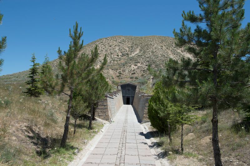
Gordion
West of Ankara, the capital of the Phrygian kingdom: you can walk inside the burial mound attributed to King Midas, and the Gordian Knot was cut here.
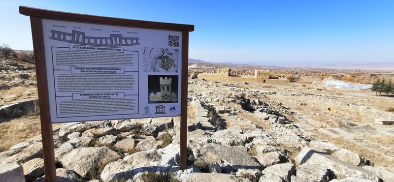
Hattusa
In Çorum, on the Anatolian plateau, the walled ancient city that was the capital of the Hittite Empire.
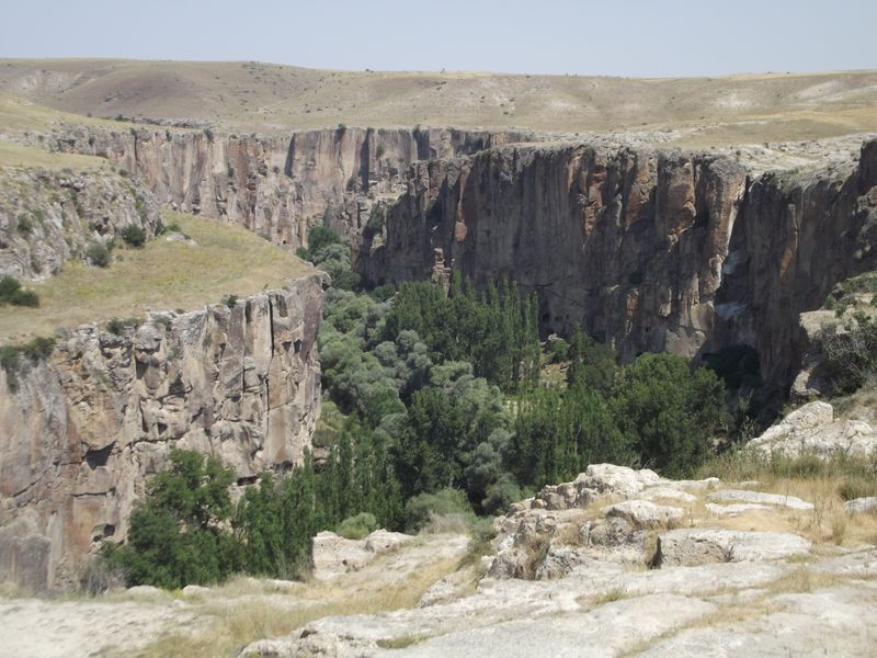
Ihlara Valley
In Aksaray, a deep canyon cut by the Melendiz stream, known for the frescoed rock churches carved into its walls.