 TürkiyeCennet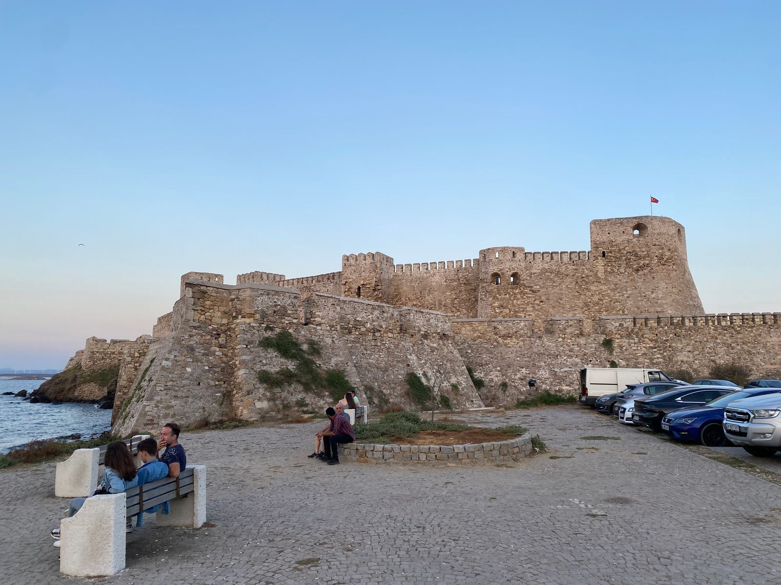
A small island off Çanakkale that runs on wind and vineyards: a Venetian-era fortress, one stone-built town, and long beaches along the southern shore.
Why go
Bozcaada is Türkiye’s second-largest island after Gökçeada, but its smallness is the point: roughly 40 km², a single town, and a circumference you can ride round in a day. Its ancient name was Tenedos, and it appears in the Iliad — this is the island the Greek fleet hid behind after leaving the wooden horse on the shore.
Two things define the place: wind and vines. The northerly barely stops here, which is why the island is studded with turbines and favoured by windsurfers. The same wind, over volcanic soil, also suits grapes. Bozcaada has made wine for centuries and a substantial share of its surface is still under vine. The native varieties — Çavuş, Karalahna, Kuntra, Vasilaki — are hard to find anywhere else, which makes tasting here genuinely worthwhile rather than merely scenic.
The town and the castle
There is one settlement, and it faces you as the ferry docks. It divides into two quarters: the Greek quarter, of narrow stone lanes and painted doors, is the part everyone photographs; the Turkish quarter is plainer and quieter.
Bozcaada Castle, beside the harbour, has ancient foundations but owes its present shape largely to Venetian and then Ottoman rebuilding. You can go inside and walk the walls for a view over the harbour and across to the mainland. Several small wineries in town offer tastings.
The beaches
The town is on the north shore, the beaches on the south, five or six flat kilometres apart. Ayazma is the best known and the busiest, named for the monastery and pines behind it. Sulubahçe and Habbeli are quieter. The western coves are exposed to the wind and suit anyone who prefers waves to flat water.
A bicycle or scooter is the practical way to move around; in summer a minibus also runs between town and the beaches.
Visiting
The ferry leaves from Geyikli-Yükyeri pier and takes about 35 minutes. Sailings are frequent in summer, but in winter crossings are cancelled in bad weather — do not plan a tight connection on your return day. You can bring a car, though the summer quota fills; leaving it on the mainland and renting on the island is usually simpler.
August is the busiest month and accommodation books out months ahead. June and September are both calmer and cheaper. Late September is the grape harvest, when the island takes on a working rhythm of its own.
Sources and last reviewed
- Çanakkale Provincial Directorate of Culture and Tourism — Republic of Türkiye Ministry of Culture and Tourism
- Museums and archaeological sites — Republic of Türkiye Ministry of Culture and Tourism
Last reviewed:
Fees, hours and seasonal rules can change; confirm with the official source before visiting.
- Best time
- June and September; August is very busy and winter ferry crossings thin out.
- How to get there
- About 35 minutes by ferry from Geyikli-Yükyeri pier. Bicycles and scooters are the usual way to get around.
- Coordinates
- 39.8297, 26.0431
- Nearby
- Geyikli · Troy · Çanakkale · Assos
Places nearby
Within about 50 km of here:
- Gökçeada42 km
Places in this region
Cumalıkızık
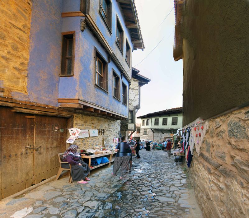
On the lower slopes of Uludağ, an Ottoman village lived in continuously for 700 years: cobbled lanes and painted timber houses standing since the empire's founding decades.
Gökçeada
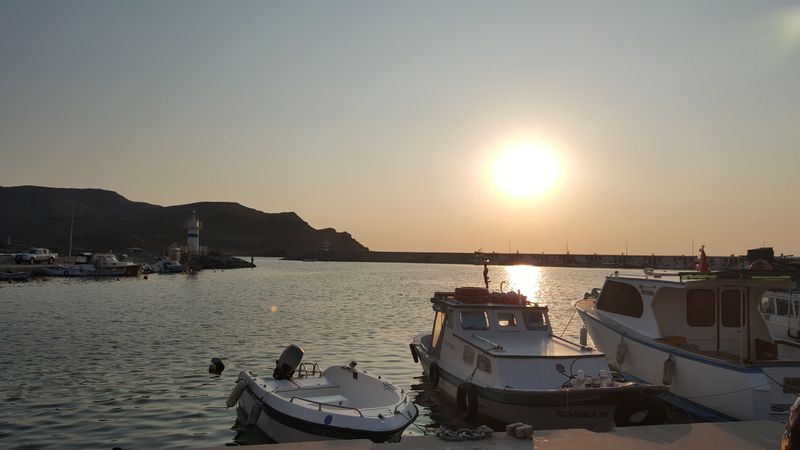
Off Çanakkale, Türkiye's largest island — a Cittaslow known for quiet coves, windsurfing and stone villages.
İznik
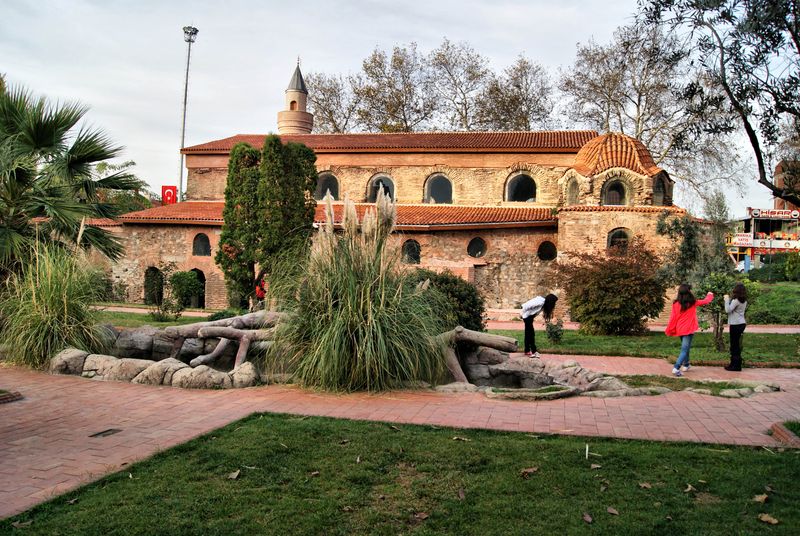
Ancient Nicaea on a lakeshore, ringed by walls and known for its tiles and the First Council.